

Services
Geotechnical Investigations & Design
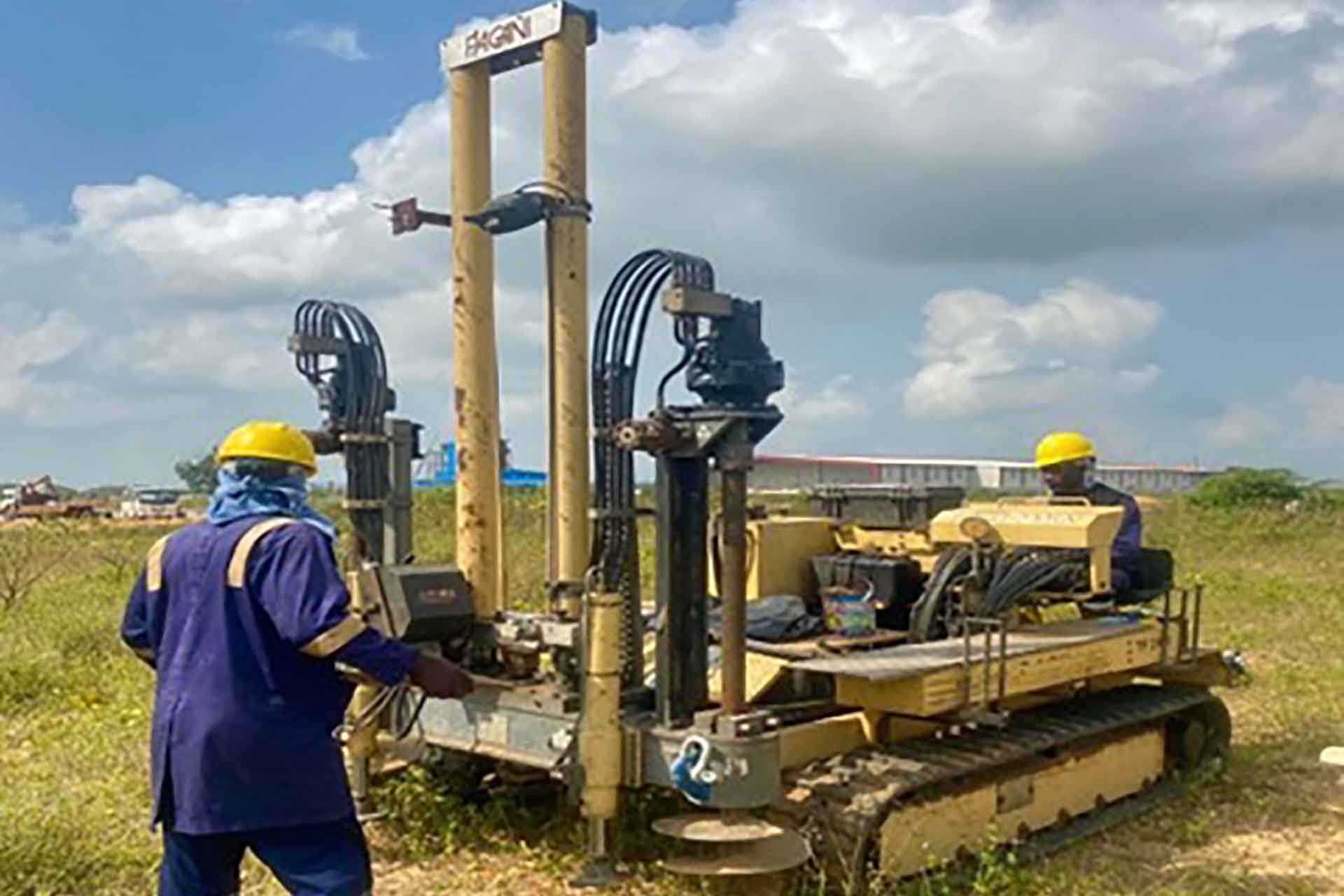
Geotechnical investigations analyze the site’s soil or rock through sampling and testing, providing data on strength, density, and other characteristics. This data informs the design of foundations, retaining walls, and supporting structures.
Geotechnical design utilizes investigation data to create detailed construction plans. This includes determining suitable foundations, calculating load capacity, and designing stable structures.
Our skilled geotechnical engineers specialize in investigations and design, employing advanced equipment and techniques. With experience in various projects, we offer services such as site characterization, soil analysis, foundation and retaining wall design, and slope stability analysis.
We collaborate closely with clients to meet the highest safety and quality standards. Whether planning a new project or evaluating existing structures, our geotechnical engineers provide expertise and guidance.
Contact us today for more information on our services and how we can support your project.
Laboratory Services
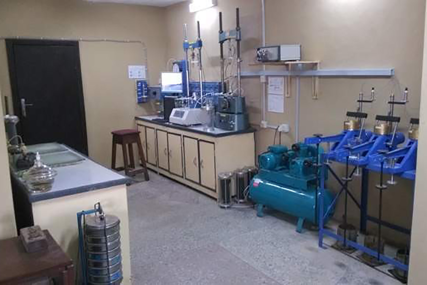
Our geotechnical laboratory services are vital for construction projects involving soil or rock. Staffed by experienced technicians, we utilize advanced equipment and rigorous quality control to deliver accurate and reliable results.
Our comprehensive services include soil classification, compaction testing, permeability testing, triaxial testing, and more. Soil classification identifies soil types, compaction testing measures load-bearing capacity, and permeability testing assesses water flow. Triaxial testing evaluates soil strength and deformation. Additionally, we offer rock sample testing such as point load and uniaxial compression testing.
We prioritize precise data to ensure project success. Working closely with clients, we tailor our results to meet their specific needs and requirements.
Whether you require testing for new construction or evaluating existing materials, our geotechnical laboratory services provide expertise and reliable data. Contact us today to discover how we can support your project.
Project Management
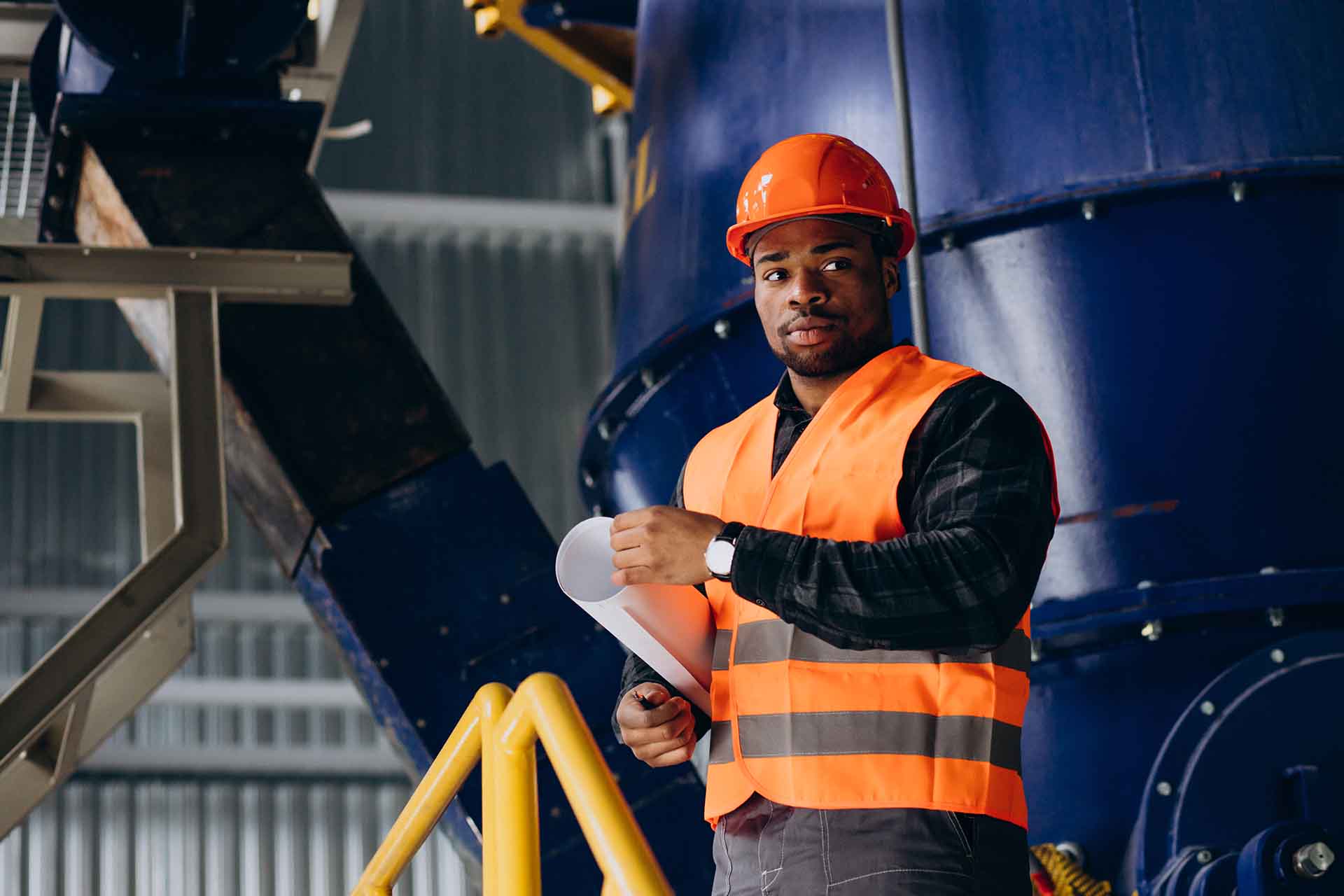
Our experienced geotechnical engineers work closely with clients, understanding project goals and developing a comprehensive management plan. Our services encompass project planning, design review, construction oversight, quality control, and risk management.
During the design phase, we review geotechnical aspects to ensure compliance with project requirements and relevant standards.
Throughout construction, we provide oversight, ensuring adherence to design and quality control plans. Regular site visits enable us to monitor progress and identify potential issues or risks.
Our risk management approach involves identifying and evaluating geotechnical risks and implementing mitigation strategies. This may include additional testing, design modifications, or enhanced quality control measures.
With our geotechnical project management services, clients gain peace of mind, knowing their projects are in capable hands. Contact us today to discover how we can assist you in managing the geotechnical aspects of your project.
Bathymetric Survey
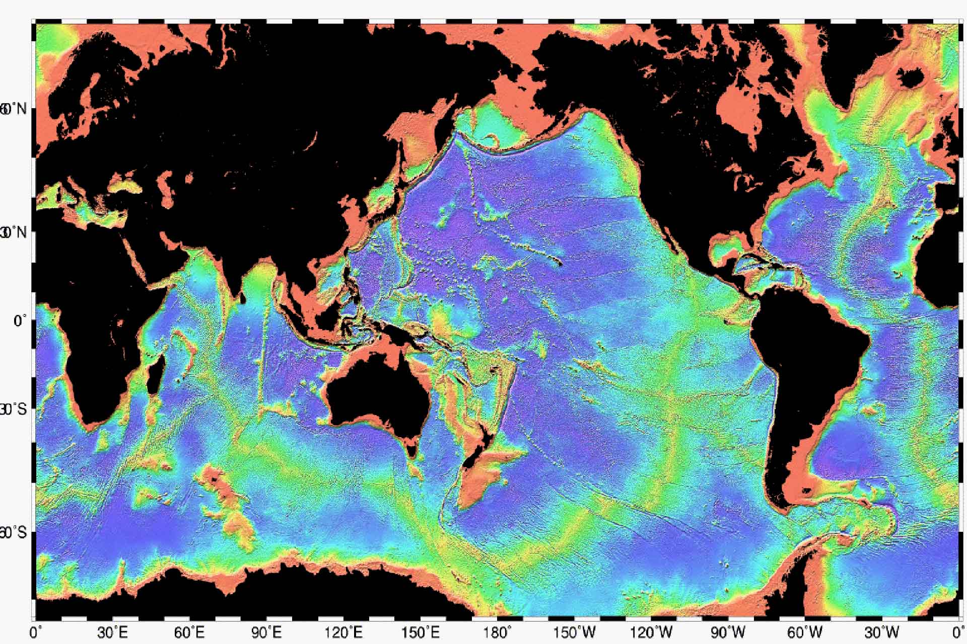
Topography survey is a specialized service that focuses on the measurement and mapping of surface features and elevation of a land area. It involves the use of precise instruments, such as total stations, GPS receivers, and terrestrial laser scanners, to collect data points that represent the three-dimensional characteristics of the terrain.
During a topography survey, surveyors gather information about natural and man-made features, including contours, slopes, vegetation, buildings, roads, bodies of water, and other relevant elements. The collected data is then processed and analyzed to create accurate topographic maps or digital elevation models (DEMs).
Topography surveys are essential in various fields, including civil engineering, architecture, land development, urban planning, and environmental assessment. They provide valuable information for designing infrastructure projects, determining drainage patterns, identifying potential hazards, and assessing the suitability of a site for construction or development.
By accurately representing the surface features and elevations of a land area, topography surveys enable professionals to make informed decisions and plans, ensuring efficient and sustainable land use practices.
Civil Engineering Design
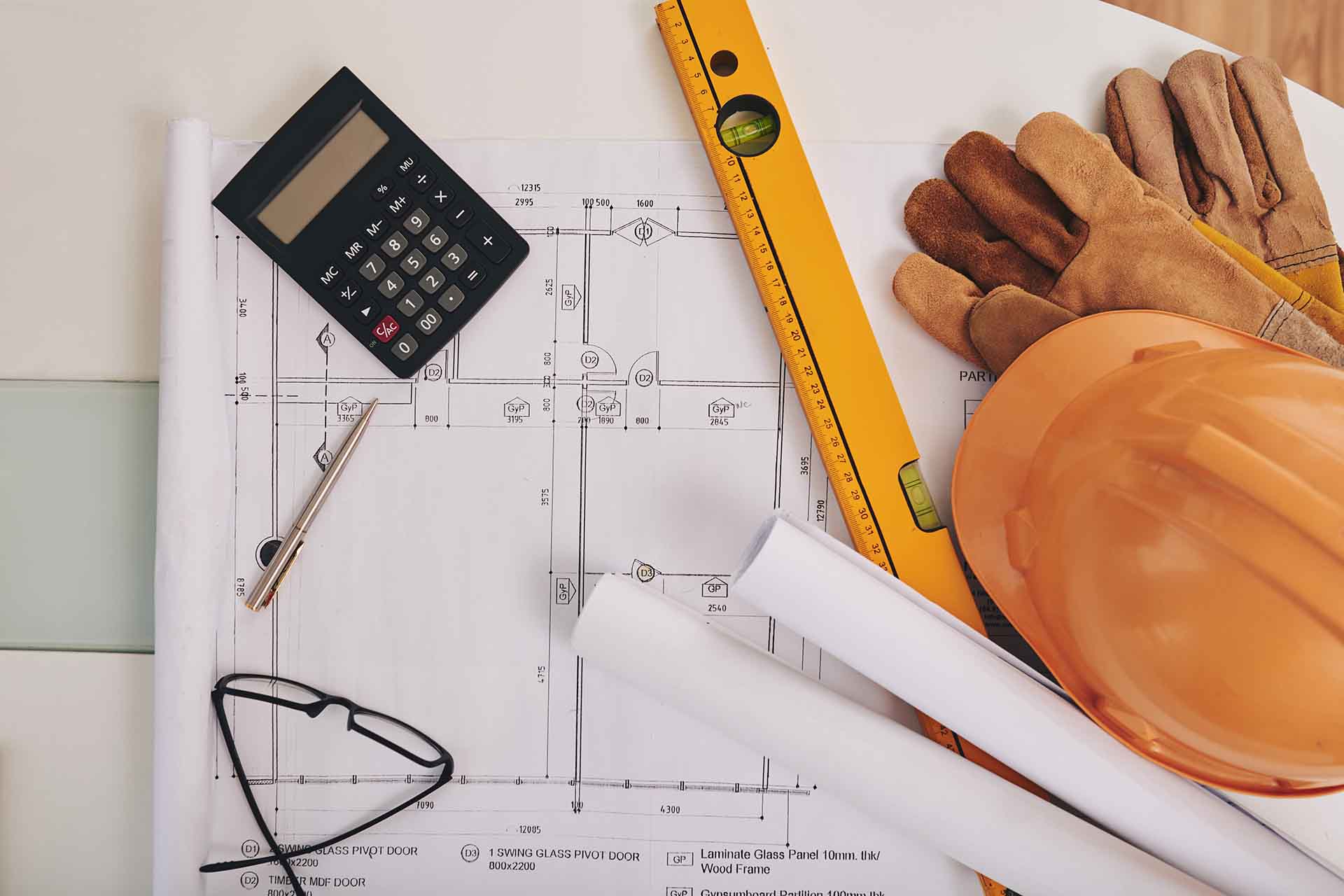
We meticulously analyze various factors such as site conditions, environmental impacts, and project objectives to develop detailed plans, specifications, and drawings. Our expertise covers a wide range of elements, including roads, bridges, buildings, and utility systems.
Through advanced calculations, modelling, and simulations, we ensure structural integrity, determine material specifications, and assess performance characteristics. Our designs also take into account factors like traffic flow, accessibility, and sustainability to optimize efficiency.
Our civil engineering design services are geared towards resource optimization, cost minimization, and risk mitigation. With our expertise in structural, transportation, geotechnical, and environmental engineering, we deliver reliable and compliant projects.
Using cutting-edge software tools and adhering to industry standards, we shape the built environment and enhance communities’ quality of life. Trust us to provide you with exceptional civil engineering design solutions tailored to your specific needs.
Topographic Survey


Inquiries.
For any inquiries, questions or commendations, please call: +234-8086542307 or fill out the following form
Employment
hr@earthengrs.com


